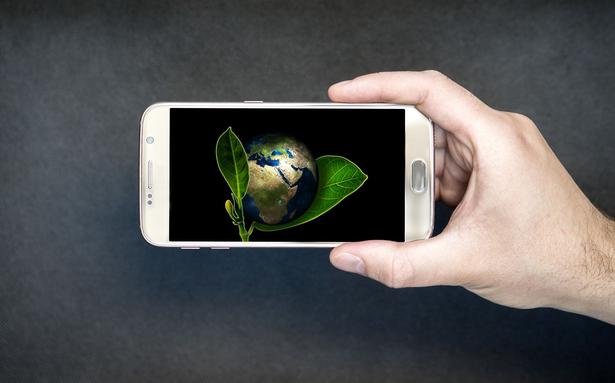
Technology helps us gain new, better and predictive insights into the health of an ecosystem
Technology helps us gain new, better and predictive insights into the health of an ecosystem
When we hear the word “conservation”, which professions comes to mind? If you answered ecologists and biologists, you are correct. However, what if we added engineers, data scientists and statisticians? Unlikely as it may seem, they all play a vital part in a multifaceted approach toward the mission of wildlife and landscape conservation.
These specialized roles allow conservation efforts to leverage the power of modern technology. With these, monitoring natural areas, making real-time observations, and managing field operations are possible. The result? We gain new, better and predictive insights into the health of an ecosystem.
Improved understanding
One key factor in implementing a conservation solution through technology is understanding the “Where” of it. Our ecosystems are grounded in the fabric of geography, and one solution combining all of these roles is using the power of geospatial technology. This uses location information to create, manage, and analyze all types of data. It connects data to a place and provides a better foundation for understanding patterns, relationships and geographic relevance. This, in turn, improves our understanding of the complex threats, opportunities and challenges facing our natural world.
With the ongoing efforts for conservation, we can benefit from this technology as it is the most basic process of gaining insights into the health of a landscape, using aerial imagery. Satellites or low-flying UAVs help gather information about the area’s physical characteristics. This process is known as remote sensing and is widely used in conservation efforts to access areas where physical contact is impossible. These images combined with location information for a place give us geospatial data, which help significantly widen conservation efforts’ reach.
Forest fires have become more frequent in recent years. Satellites use a visible, infrared instrument onboard NASA’s and NOAA’s Joint Polar Satellite System (JPSS) to detect locations of fire incidents in near real-time. Combing this location information with areal images allows us to compute how much forestland has been damaged by fire incidents. Gauging the location of these incidents also helps establish the cause of such occurrences and helps establish if it was natural or man-made. This is geospatial technology at work!
Field observations
While satellite technology is very much an “Eye in the Sky”, it is always supported by technology on the ground through field observations. Today most ecologists use the power of the web and mobile devices like smartphones and tabs to collect ground information and update an interconnected database using the power of the internet. The GPS of a mobile device allows the ecologists to enrich their observations and have them stored in a centralized database allowing their teams to access the information as soon as it is collected. Integrating this helps managers plan their strategies better and coordinate their field workforce in real-time.
Environmentalists now enhance their on-ground observations with technologies such as camera traps and acoustic monitoring devices. These help measure wildlife activity and understand their connectivity, distribution and relationship with local and global biodiversity, immensely adding to the knowledge body.
Advancements in computing and remote technologies have provided conservation professionals with the tools to reveal insights with optimized software, algorithms, applications and scientific workflows. Indeed, conservation efforts today are data-driven, and these technologies allow us to augment and enrich our understanding of the interdependent factors that lead to a healthy ecosystem.
Are you excited by technology, yet love Nature enough to work actively in shaping a better environment? The conservation world needs youth who will constantly propel technological innovation, keeping their role in making conservation data science better and more meaningful. This sector invites youth from all backgrounds in ecology, engineering, data science, mathematics and statistics. As budding professionals, we must consider using our skills to contribute to humanity’s efforts toward conservation.
The writer is the Director, IGCMC (Remote Sensing and GIS) and Coordinator- ENVIS (MoEF and CC)
.

